Below is a list of available equipment for collaboration and project deployment. If you have any interest to collaborate or other project ideas, please do not hesitate to contact me via email directly.
Licensing:
FAA Unpiloted (or Unmanned) Aerial Systems Remote Pilot - required for UAS/drone applications
FCC RTK UHF Broadband Application - required for GPS-RTK surveys (operating nationwide including Hawaii, Alaska, and US Territories) - registration
Remote Sensing Platforms:
Faro Focus S 350 Laser or Lidar Scanner (range 350 meters) - majority owner, shared usage - GSD tables
Faro Focus X 130 Laser or Lidar Scanner (range 120 meters) - GSD tables
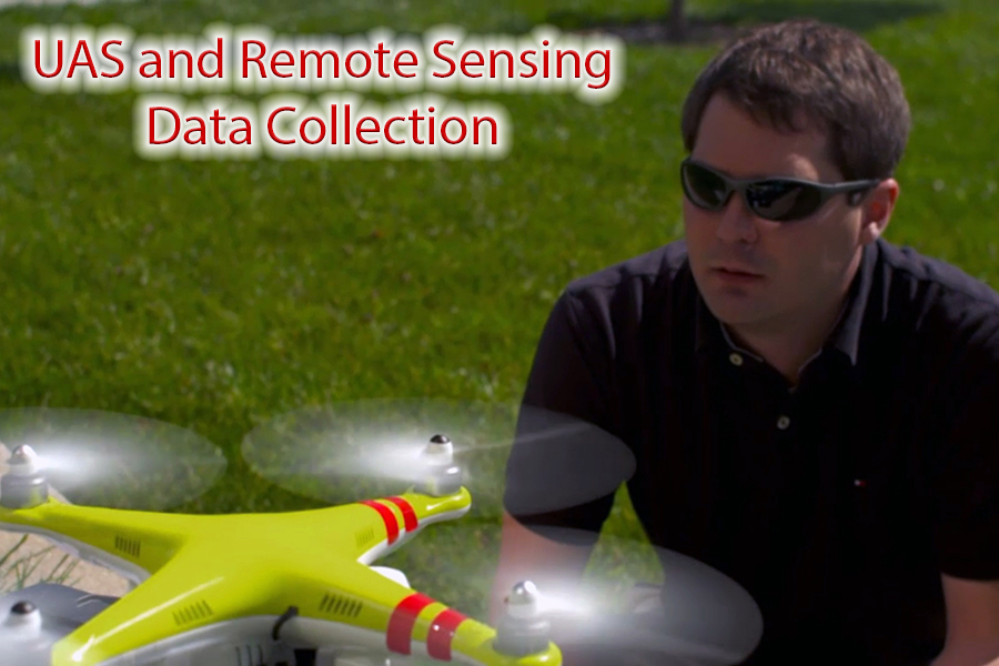
Fixed Wing UAS Platform (available 42 MP camera)
DJI Inspire 2 UAS Platform with Object Avoidance and Waypoint Capability (available 20 MP camera)
DJI Mavic Pro 2 S-UAS Platform with Object Avoidance and Waypoint Capability (onboard 20 MP camera)
DJI Mavic Pro S-UAS Platform with Object Avoidance and Waypoint Capability (onboard 12 MP camera) - shared usage
UAS Dedicated 4/3rds Camera with 3-Axis Gimball (15 mm and 25 mm lenses)
Multi-spectral Camera (5 spectra bands)
3DR Solo with Gimball Mount (available GoPro or multi-spectral cameras)
Modified DJI Phantom 2 with Waypoint Capability (available GoPro or similar mount)
GPS/Ground Control Equipment:
RTK GNSS Survey Kit (Rover and Base Units) - Manual
Carlson Surveyor 2 Data Collector
RTK Survey Mobile Kit (L1 band only, out on loan)
Ground control targets (quantity: 80+) - various styles
Portable Accelerometer Networks:
National Instruments Compact DAQ (multiple modules, 8 slots; quantity: 1) - N1 DAQ
National Instruments DAQ - USB powered (single module; quantity: 4) - N2- N5 DAQ series
National Instrument Sound and Vibration Input Module (quantity: 10) - N1-N10 series
National Instruments Voltage Output Module (quantity: 1) - NXX series (access to resource)
PCB Low Noise Seismic Accelerometers (5g; quantity: 25) - Calibration Factors
PCB Seismic Accelerometers (50g; quantity 12) - Calibration Factors
Coaxial cables (variable lengths) - Inventory List
10-32 to BNC cables (quantity: 40) at various lengths - Inventory List
Wireless Triaxial Accelerometers with Data Logging Capacity (2g; quantity: 16)
Wireless Sensor Network for Structural Characterization and Response
Wireless Temperature and Humidity Sensors (quantity: 4)
Computational Resources:
Two Dedicated Workstations for point cloud and image processing (256GB RAM, dual GPU, dual Xeon CPUs)
One Dedicated Workstation for Machine Learning/Deep Learning (256GB RAM, NVIDIA RTX a6000 GPU, Xeon CPU)
Two Dedicated Workstations for time-series and visual datasets (system ID and others)
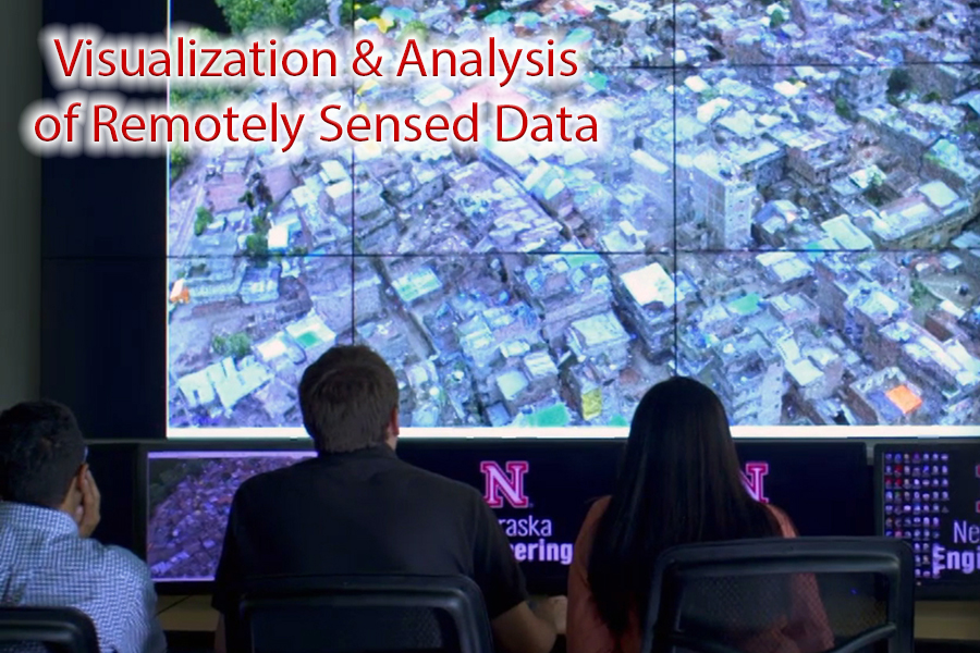
Visualization Web Server
Various DSLR Cameras and Lenses
Field Laptop with Dedicated GPU
Computational & Software Platforms:
Faro Scene - point cloud registration and general processing
Structure-from-Motion Software (3 commercial variants) - create point clouds
System Identification Software - structural characterization via operational or experimental modal analysis
Autocad and Bentley Software
GIS Software
Other Point Cloud and Data Processing Software Platforms (inquire for specific details)
Laboratory Components:
Table Top Uniaxial Shake Table
Oculus Rift headset (for virtual reality (VR) simulation of data)
Additive Manufacturer Printer (3D Printer - PLA and ABS)